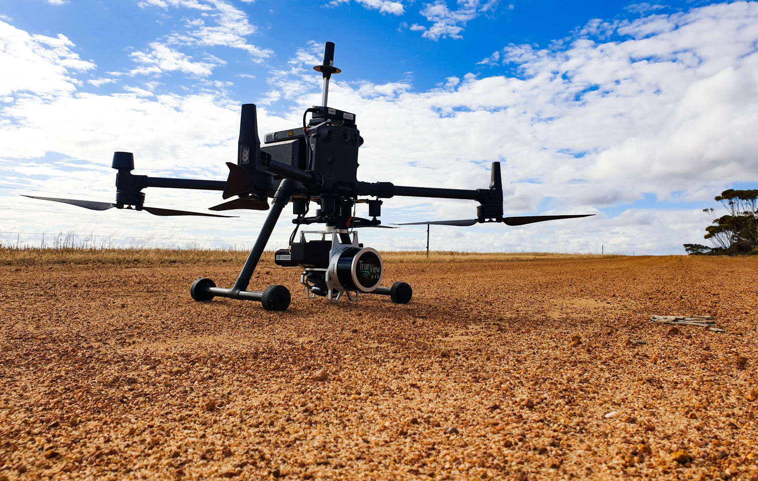
Insight UAS provides surveying and inspection services to the mining, construction and resources sectors. Our business specialises in mining and construction survey applications with a strong focus on drone technology. We are a young business with a huge variety of survey and inspection work across a range of industries.We are run by a young and enthusiastic team who put emphasis on the specific needs of our clients. Our services are all about adding value to the operations and projects of our clients.
This opportunity will suit applicants who are looking for a FIFO contract mine surveyor role (open pit).
This role will also provide the successful applicant with unparalleled support and opportunity to learn industry-leading procedures, workflows and best practice for the fast-paced and ever-developing drone technologies in the survey and mapping arena.
Qualifications & experience
- Surveying qualification and experience required (preferably mining)
- Experience with open pit mine surveying workflows, software and hardware
- Current Remote Pilot’s License (RePL) for multirotor aircraft up to 20kg (required)
- Current Remote Pilot’s License (RePL) for fixed wing and VTOL aircraft up to 20kg (bonus)
- Experience with aerial survey workflows, data capture and photogrammetry
- Being a self motivated and resourceful problem solver is central to this role as you will be working with new technology, hardware and software
- Attention to detail and an enthusiastic attitude to learning new skills and workflows
- Experience with photogrammetry processing software such as Pix4D, Agisoft Metashape, ContextCapture and other GIS programs like Global Mapper, Cloud Compare, QGIS are all desirable but not essential
Tasks & responsibilities
- Standard tasks for open pit mine survey such as;
- Drill and blast surveys
- Berm set out and checks
- Ore markups
- End of month surveys and volume calculations
- Prism monitoring
- Exploration and grade control survey
- Standard aerial survey tasks for potential ad-hoc projects such as;
- Project planning for aerial drone survey and inspection projects
- A large variety of routine and ad-hoc aerial survey and inspection missions for mining and construction projects
- Aerial data processing and analysis for applications like project progress, earthworks monitoring and design, rehabilitation analysis, 3D modelling for digital twins and asset inspection, stockpile and volume analysis
- Flight planning, approvals and record keeping in line with Civil Aviation Safety Authority (CASA) Guidelines
- Creation and documentation of unique data capture and processing workflows that enhance and add to our companies professionalism and reliability
- Responsible for delivering accurate and repeatable 2D and 3D data sets to our clients.
- Working with the latest in drone equipment, hardware and software technology
- Willingness to travel to regional and remote areas and mine sites for work. Some projects will require time on site ranging from a few days to weeks Flexibility and the willingness to work these ad-hoc projects on occasions is essential.
Employer questions
Your application will include the following questions:
- Do you have mine site experience?
- Do you have the ability to work from home when required?
- Which of the following statements best describes your right to work in Australia?
- Do you have open pit mining experience?
- Do you have a current Australian driver’s licence?
- Which of the following statements best describes your Covid-19 vaccination status?
- What’s your expected annual base salary?
